Operational efficiency at scale
Process massive point cloud datasets in minutes, not days. Batch process hundreds of files with repeatable workflows and zero manual bottlenecks.
<3minper km² at 16 pts/m²
One AI engine, nine models — semantic mapping across aerial, mobile, national, utility, forestry and defence. Point clouds in, decisions out: on the cloud, on your GPU, or air-gapped on your hardware.
Trusted by teams mapping the world






















Supported by


Whichever 3D world you work in, our AI engine speaks its language: one engine, specialised for the objects and standards you care about.
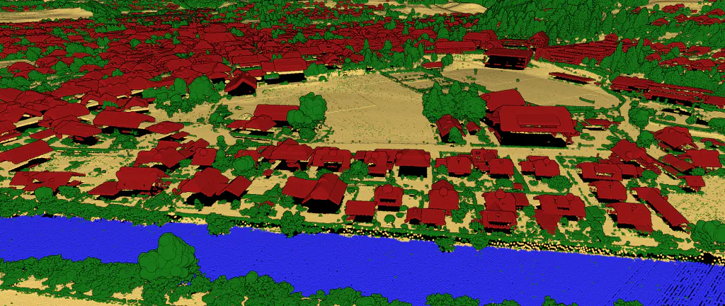
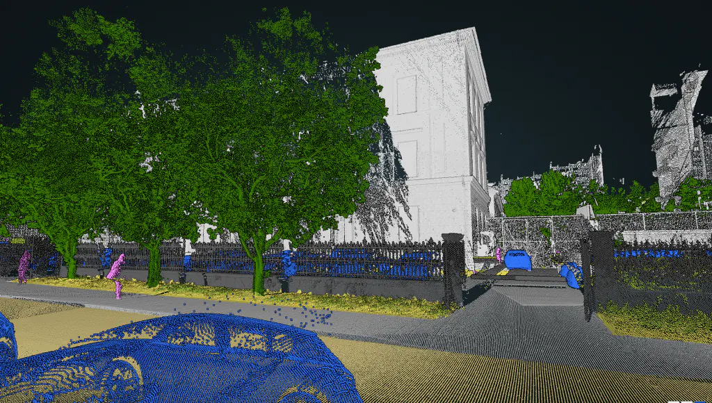
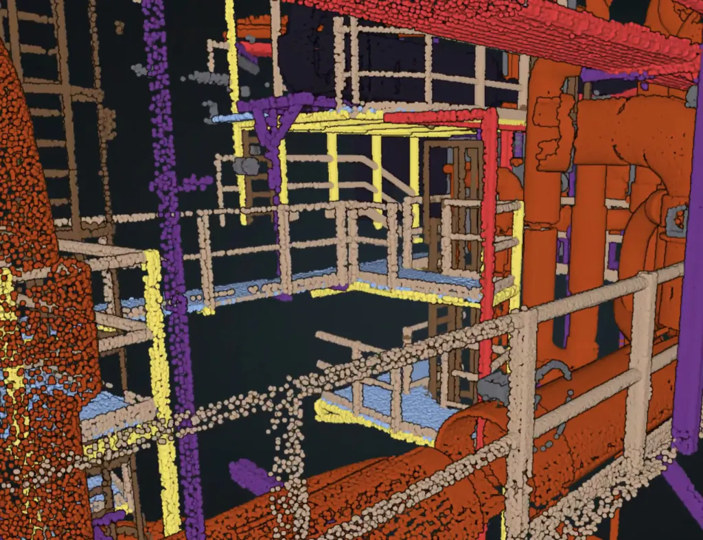
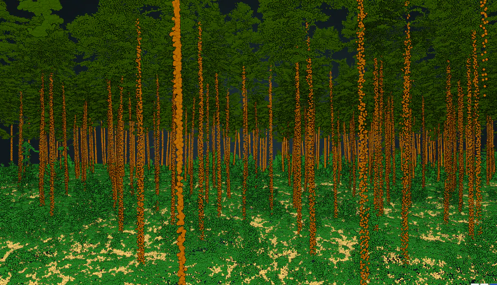
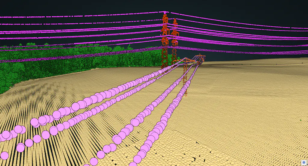
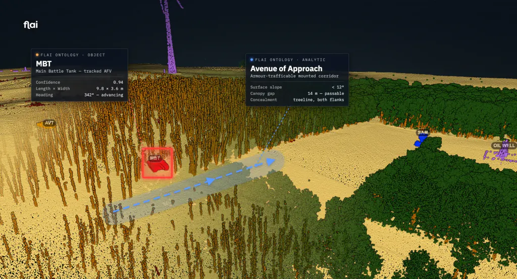
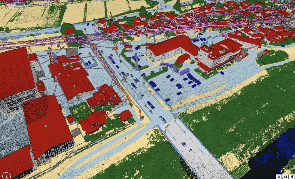
Feed in raw 3D point clouds — from any sensor, on any platform. Flai's AI hands back a clean, segmented, typed picture of the terrain and everything on it. No manual labelling, no guesswork.
Flai replaces repetitive manual classification with automation — so your team focuses on analysis, not data prep.
Process massive point cloud datasets in minutes, not days. Batch process hundreds of files with repeatable workflows and zero manual bottlenecks.
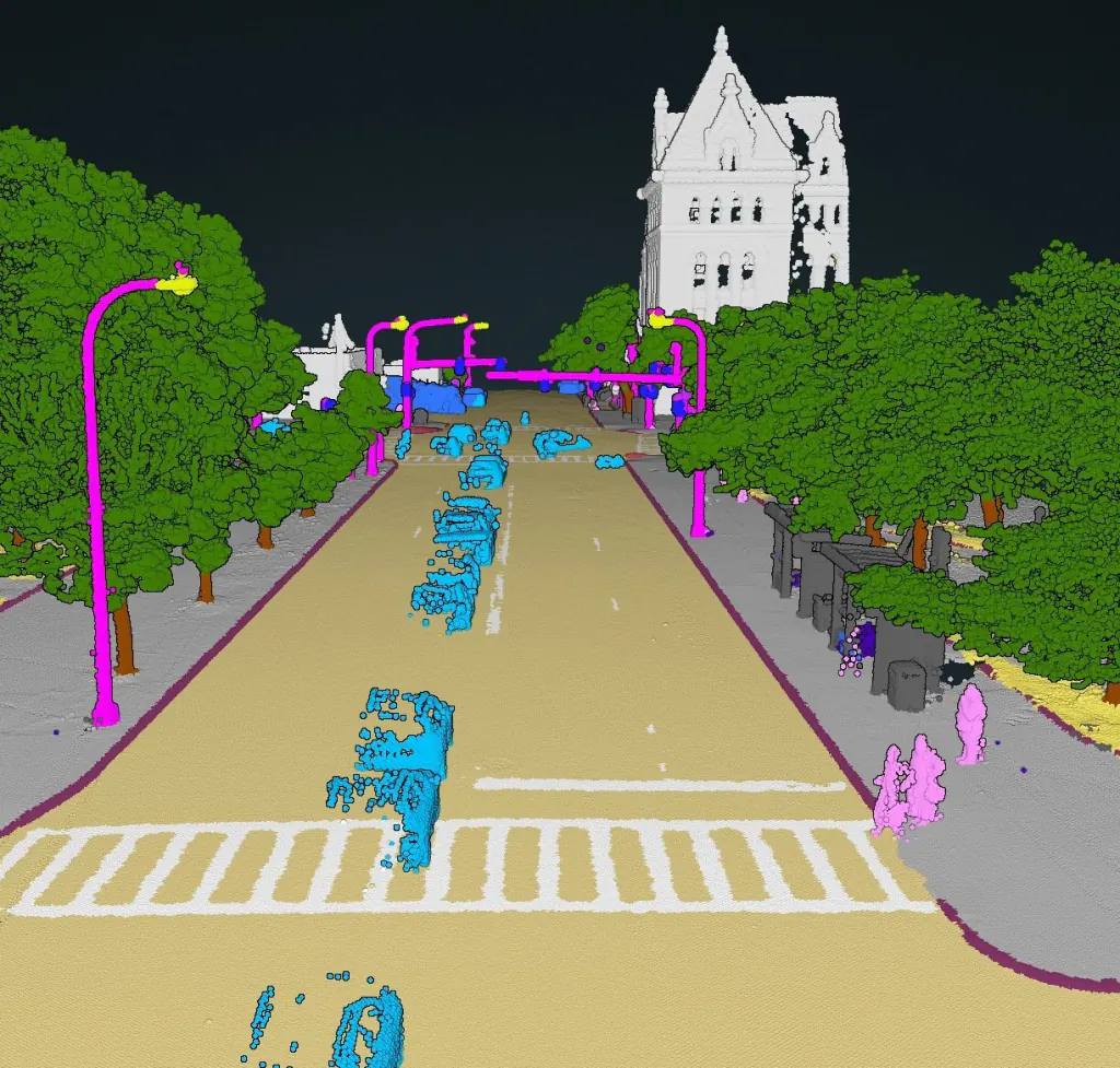
A broad library of object classes out of the box, many that automated tools could never reliably detect before. Need something specific to your work? Additional retraining is available for your own categories.
F1 scores of 0.98+ across key classes. Consistent output regardless of operator — every project, every time. Fully auditable.
Nine pre-trained AI models, 180+ processing nodes, a visual workflow builder. Everything you need from raw LiDAR to analysis-ready deliverables.
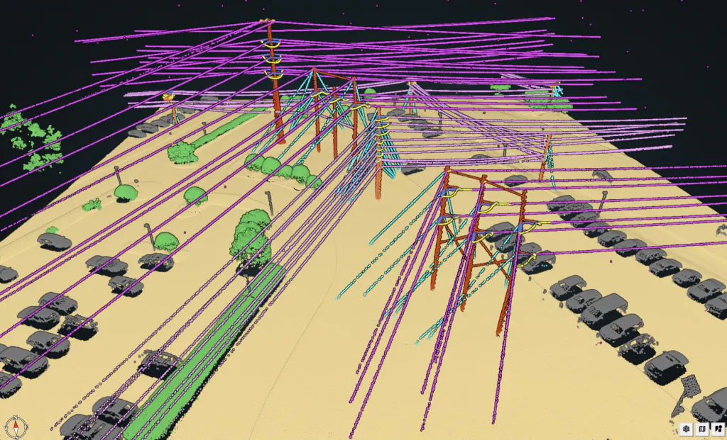
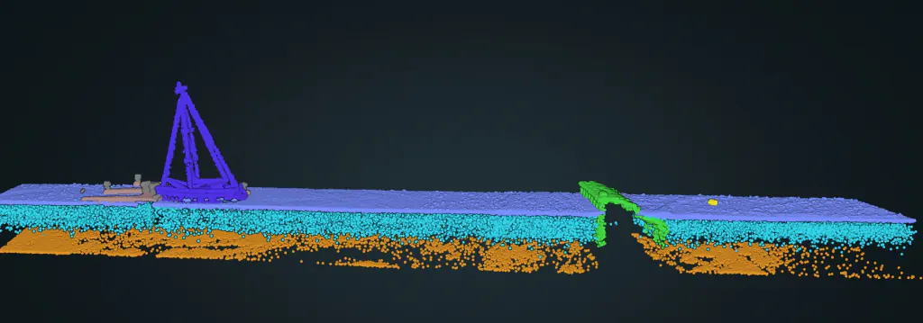
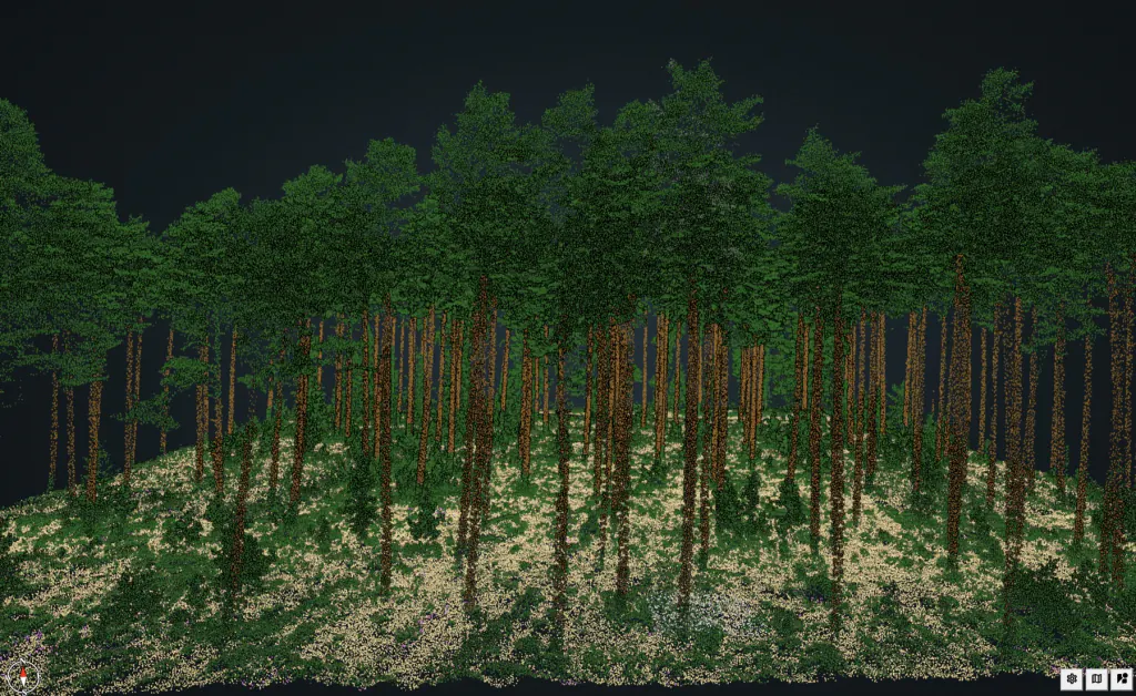
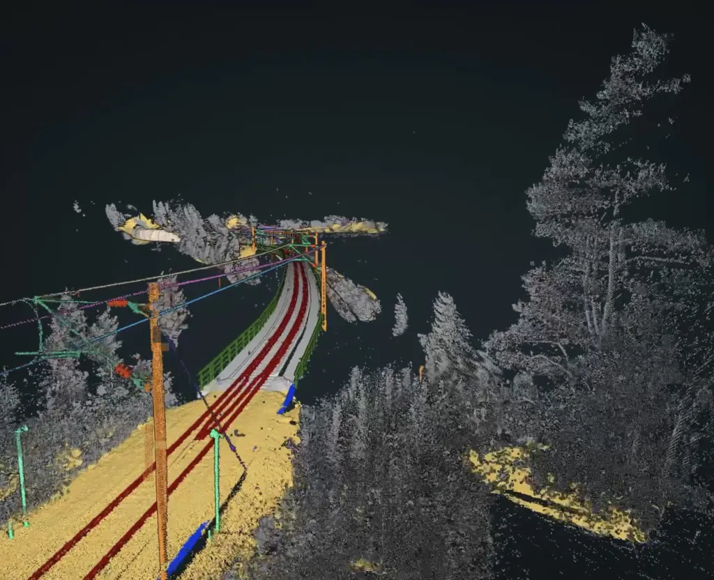
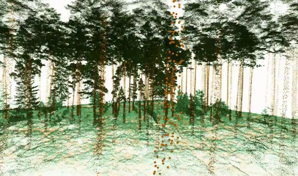
Ground, buildings, vegetation, water, bridges, powerlines, and more — the most comprehensive LiDAR classification out of the box.
Readers, writers, filters, rasterisers, vectorisers, classifiers. Build any workflow with drag-and-drop in the visual editor.
Drag-and-drop editor for processing pipelines. Pre-built templates for common use cases. Set up once, run on every project.
Visualise billions of points in your browser. Measurement tools, classification colouring, interactive editing, region isolation.
Process hundreds of files in a single run. Automated queuing, progress tracking, error handling for production-scale workloads.
Need better results on specific terrain or vegetation? The retraining service creates models tuned to your data and environment.
Every vertical is served by a dedicated model, all powered by the same FlaiCortex engine — shipping today, in beta, or on the near roadmap.
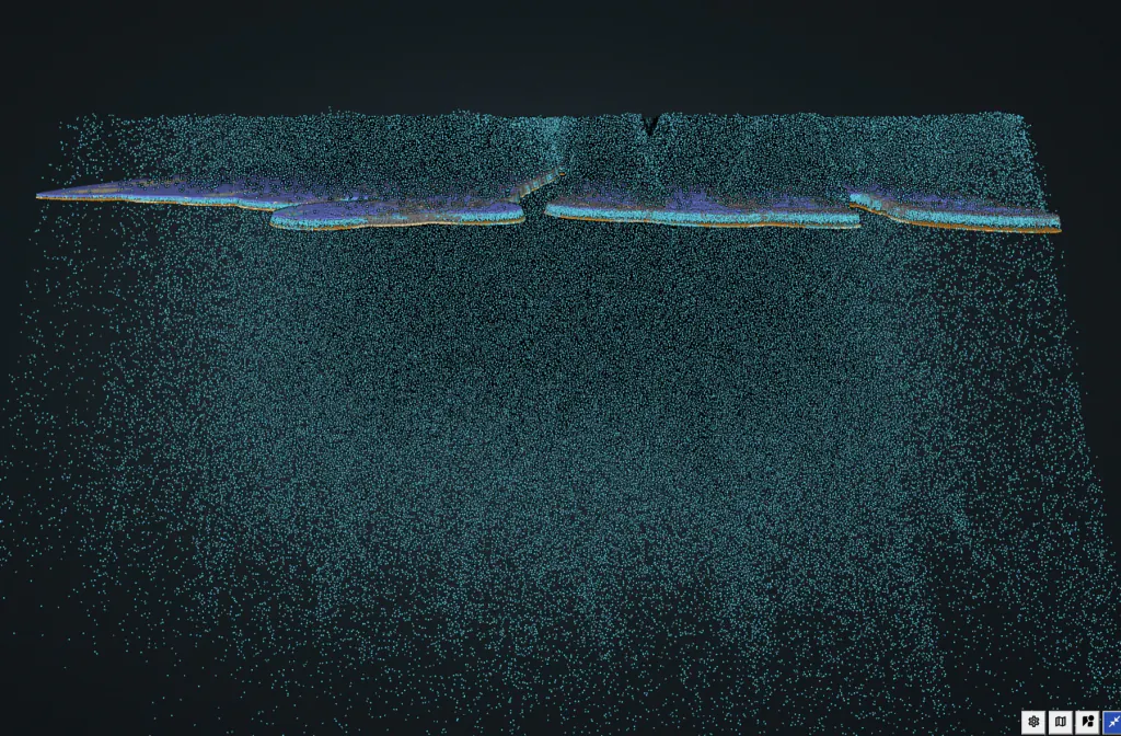
Flai works with the LiDAR sensors you already fly. Airborne platforms, mobile mapping rigs, handheld scanners — agnostic to manufacturer, scan pattern, and density.















As GIS experts for more than 20 years, we recently discovered the power of Flai’s AI platform. It was used for ultra-fast and convincing point cloud classification for damage mapping after a terrible storm severely hit one of our main cities. We had urgent need for this data to manage this disaster and Flai’s team delivered to our entire satisfaction.

Using Flai cut down the time for our manual point cloud classification by a factor of four — radically improving our turn-around and project profitability.

Flai’s automated, accurate vegetation classification seamlessly integrates into our workflow, providing the precise data we need to make informed maintenance decisions for our power network.

Upload your LiDAR and get classified results in minutes. No credit card. No commitment.
Free tier · 10,000 processing units / month · no GPU required